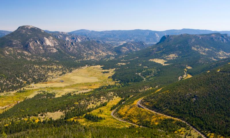
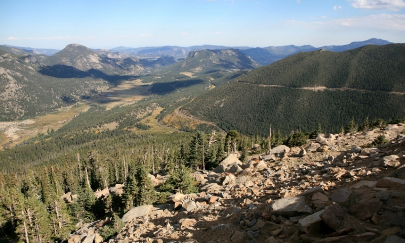
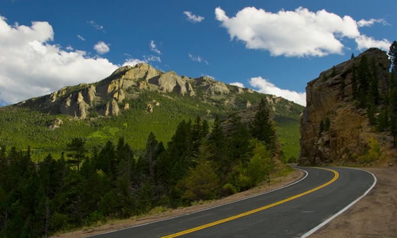
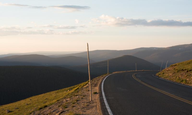
- Rocky Mountain Trail Ridge Road takes you high in the Rockies with breathtaking views
- Try and allow a half-day of travel to take in the sights
- Have a picnic at Beaver Ponds Picnic Area or Hidden Valley
- Take in amazing views of the Never Summer Mountains at Gore Range Overlook
Overview
Trail Ridge Road, Colorado is a scenic route taking you high into the Rockies, to a maximum elevation of 12,183 feet. See the full sweep of the Rocky Mountains from many of the overlooks. The perfect drive through a national park that is perhaps one of the most scenic in the world! It’s open from approximately Memorial Day to mid-October.
Driving Directions
Take US Highway 36 from Estes Park, Colorado, to Deer Ridge Junction inside Rocky Mountain National Park where Highways 36 and 34 meet. Continue on US Highway 34, which is Trail Ridge Road. This will take you through the entire park to the community of Grand Lake, Colorado, where Trail Ridge Road comes to an end.
Time/Distance
Trail Ridge Road is a distance of forty-eight miles from Estes Park to Grand Lake. It is about 2 hours of driving non-stop, but you should allow at least half-a-day travel so you can enjoy the sights.
Highlights
Eleven miles of Trail Ridge Road lies above tree line. You won’t see forests here, but you will enjoy the wildlife and wildflowers that bloom. Along this Rocky Mountain route, the landscape changes from forests of aspen or firs to alpine tundra.
Colorado Trail Ridge Road has some sights to see, and the following are highlights that you definitely shouldn’t miss.
- Beaver Ponds Picnic Area
After leaving Deer Ridge Junction, simply take the first right and enjoy a picnic here. - Hidden Valley
This area is open all year, with snow play in the winter and a wonderful picnic area in summer. - Many Parks Curve
Awe-inspiring scenery will insist you bring out your camera. View the landscape shaped by glaciers more than 15,000 years ago. You are now at an elevation of 9,691 feet. - Rainbow Curve
Look out over Hidden Valley Creek where beaver live. See Horseshoe Park and Alluvial Fan from this amazing vantage point. - Forest Canyon
Stay on the trail to prevent damage to this delicate ecosystem. But you’ll love the views of the Continental Divide. Glaciers flowing through the valley formed the Forest Canyon, which you’ll see beyond the flowered meadow. - Gore Range Overlook
Here, from an elevation of 12,048 feet, you will see the Never Summer Mountains to the west. - Alpine Visitor Center
A wide variety of wildlife comes to this area in the summer months. You may see bighorn sheep, elk and deer. There is a place to eat, a gift shop and restrooms. - Alpine Ridge Trailhead
Even though the Alpine Ridge trail is a one-quarter mile hike, it can be quite strenuous at 11,796 feet and with an elevation gain of 300 feet. So be prepared! But it’s well worth it. - Milner Pass
Here you’ll cross the Continental Divide. Stop and take the Tundra World Nature Trail. It’s only a half hour and you’ll get up close and personal to the marvelous plant life existing here at 10,775 feet. Streams on the east side of this pass flow to the Mississippi and on the west flow to the Colorado River.


